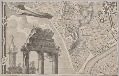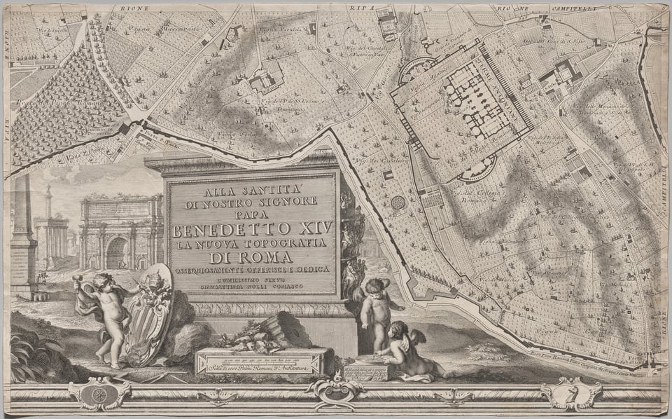
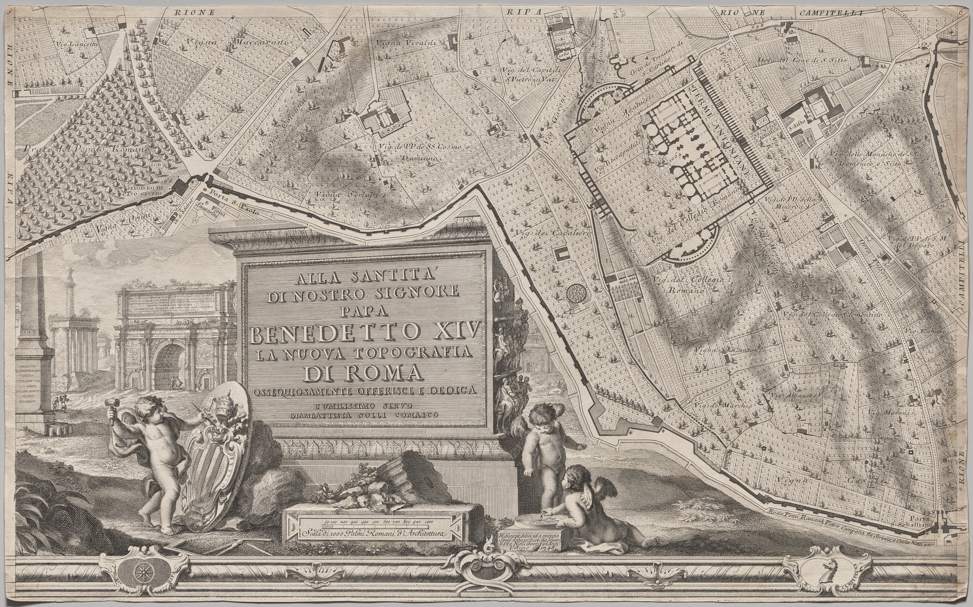
Nuova pianta di Roma data in luce da Giambattista Nolli l’anno MDCCXLVII, known as La Pianta Grande di Roma1748
The monumental Pianta Grande di Roma, or Large Plan of Rome, which measures about 5 x 7 feet when its twelve plates are assembled, is a landmark in both cartography and printmaking. More about this work
About this work
The monumental Pianta Grande di Roma, or Large Plan of Rome, which measures about 5 x 7 feet when its twelve plates are assembled, is a landmark in both cartography and printmaking. The map is considered the first scientific rendering of Rome, establishing new standards of accuracy and thoroughness when it was published in 1748. Devised by the Lombard architect and surveyor Giovanni Battista Nolli (Italian, 1701-56), the creation of the map required over ten years of surveying the city carried out by Nolli and a team of assistants with the help of new measuring devices. In Nolli’s “ichnographic” (also called “ground”) plan, architectural features and the urban infrastructure are reduced to a single horizontal slice, a minutely detailed footprint that conveys dimensions, proportions, and orientations to scale with the utmost clarity.
Text from the Cleveland Museum of Art.
How it was made
- Etching
- The artist draws with a needle through a waxy coating on a copper plate, and acid bites the exposed lines. The plate is then inked, wiped and printed under pressure, so the line keeps the freedom of drawing.
- Engraving
- Lines cut directly into a metal plate with a steel burin, which makes them swell and taper. It took years to master, and for centuries it was how paintings travelled as pictures.
Giovanni Battista Nolli
Italian, 1701–1756
Nolli was an architect and surveyor from the region around Como who worked in Rome. He spent more than a decade surveying the city for the great map published in 1748, the Pianta Grande di Roma, engraved on twelve plates. Its innovation was to show buildings in ground plan, with church interiors, courtyards and other public spaces left open, so that streets, piazzas and accessible interiors read as one continuous public realm. Urban designers still use the method.
Written by Ochre Editions.
Rights and the museum’s record
Public domain. The Cleveland Museum of Art has dedicated this image to the public domain under CC0, so anyone may copy, adapt and use it, for any purpose, without asking. Our prints and files are reproductions made from the museum’s image; the museum doesn’t endorse them.
- Object number
- 2020.276.1
- Credit
- Courtesy of the Cleveland Museum of Art
- Type
- Department
- Prints
- Licence
- CC0 1.0 Universal
- Museum record
- See it on the museum’s site
Report this work
More by Giovanni Battista Nolli
All their works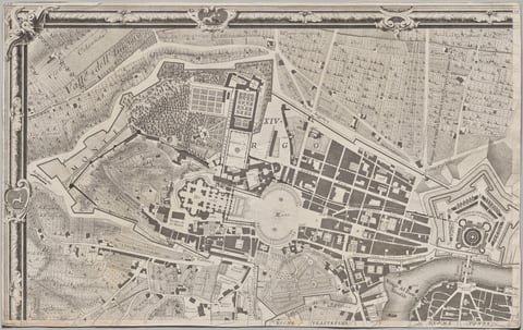
Close in colour